
 Lietuviškai

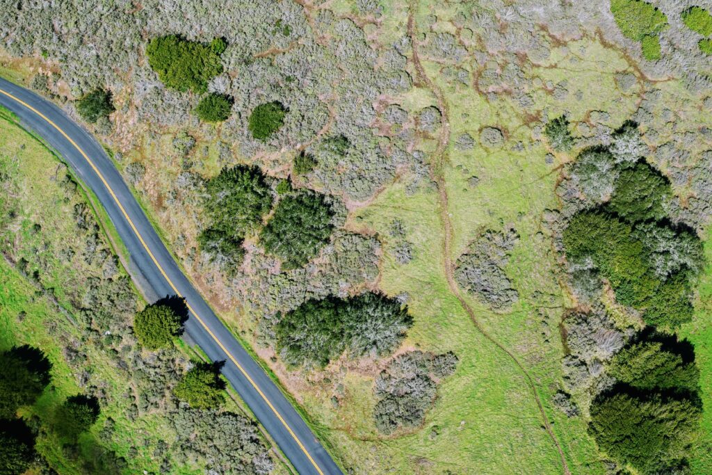
Geodesy and land management works
Geodetic measurements determine the exact data of the land plot and are carried out by coordinating the turning points of the land plot, existing structures, contours of land plots and engineering networks.
Our specialists carry out work with high-precision measuring devices and specialized software, which is constantly improved and updated.
- Preparation and implementation of land acquisition projects for public needs.
- Cadastral measurements for land plots, engineering structures (streets, underground communications, bridges) and buildings.
- Land plot formation and redevelopment projects.
- Preparation of protection zone plans, compensation calculations.
- Preparation of easement determination plans, compensation calculations.
- High-quality orthophotographs of the scanned area (photogrammetry), point cloud, 3D models of the area, detailed 3D image of the object (building, etc.), filming, photography.
Head of Architecture and Environmental Design Department
Paulius Grigaliūnas

